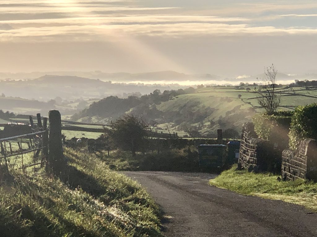
Welcome to Hartington Upper Quarter Parish Council website
Hartington Upper Quarter is a civil parish in the High Peak district of Derbyshire, England, originating from the division of the ancient parish of Hartington into four, namely, MIDDLE, UPPER, NETHER and TOWN QUARTERS.

At the time of the 2021 census, the parish had a population of 416 which has greatly reduced since 1811 when the population was 1,695 and in 1881, 2,174. The parish is long and thin, extending from the north-west of Buxton, including the Goyt Valley, down through Brandside, parts of Burbage and Harpur Hill, to Brierlow Bar and Sterndale Moor in the south east. It borders parishes in High Peak , Derbyshire Dales and Staffordshire Moorlands districts.
Hartington gives the title of Marquis to the Dukes of Devonshire. The Duke owns nearly the whole of this township. At Painer’s Pool bridge, near Black Clough, 4½ miles from Buxton, the counties of Derby, Chester and Stafford meet. Axe Edge is a mountainous height, in this township, 1,756 feet above the level of the sea, in which the rivers Dove, Wye, Dane and Goyt have their source, these streams flow in different directions, the Goyt and Dane falling into the Mersey, and the Dove and Wye joining the Humber. The area of the township, with the hamlet of Burbage, is 10,311 acres, of which about one-third are common and heath, being principally on gritstone, and the enclosed land being mostly on limestone. Hartington Upper Quarter adjoins Buxton, portions of which have been taken into the ecclesiastical parishes of Earl Sterndale and Burbage respectively and it forms the north-west extremity of the parish.